Hike to Maja e Vajushës, the most scenic peak in the Albanian Alps
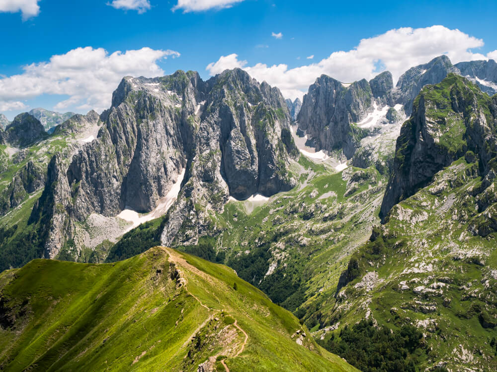
In the far north of Albania, amid the Accursed Mountains, there’s a hike with views so spectacular it’s hard to believe they’re real. It’s the hike to Maja e Vajushës, a 2,057 m (6,750 ft) tall peak straddling the border between Albania and Montenegro.
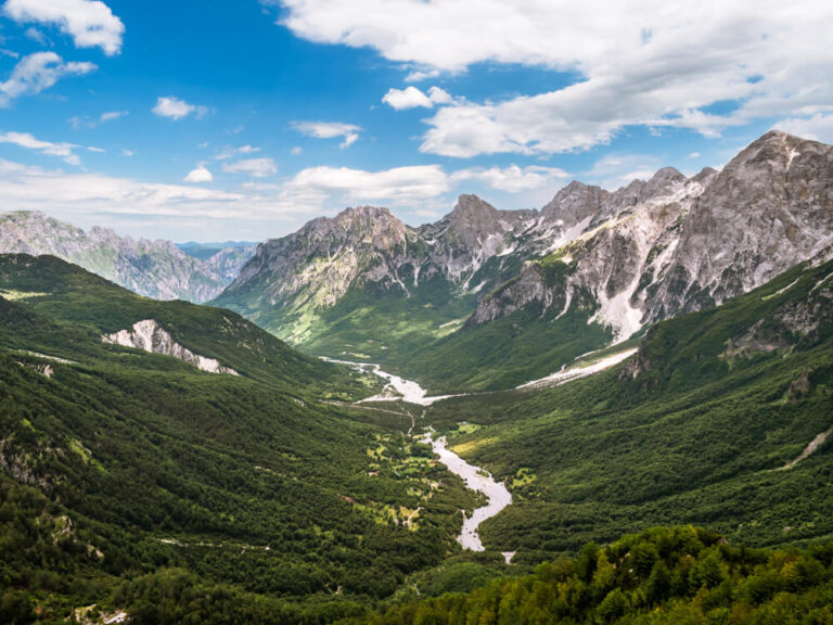
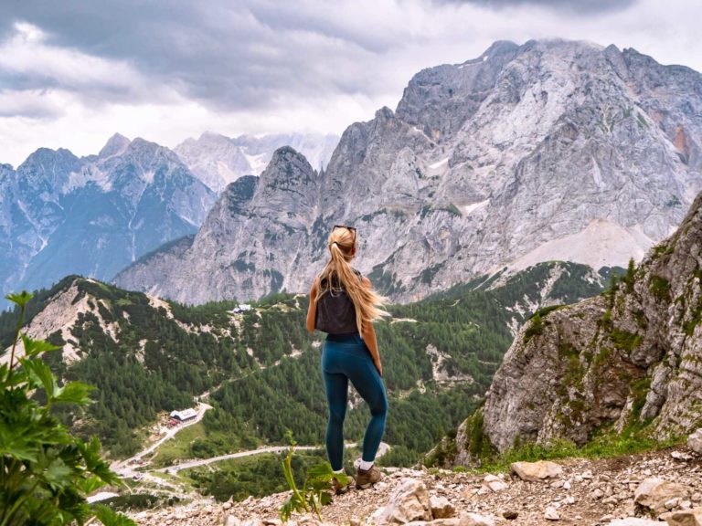
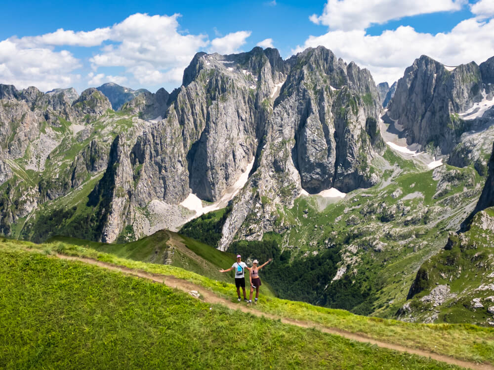
The trail leads through dreamy alpine meadows and green slopes before ascending to the summit ridge of Maja e Vajushës (Vajusha Peak), where a striking panorama of the jagged peaks of the Karanfili Massif unfolds in front of you. It’s truly a masterpiece of nature and undoubtedly one of the best hikes in Albania.
Everyone visiting the Albanian Alps knows the famous Valbona Pass hike, while almost nobody makes the journey further north to hike Maja e Vajushes. After hiking this trail myself, I can say they’re missing out! It was one of the most memorable parts of my Albania itinerary, and even in July, which is the peak tourism season, I only met a handful of people on the trail.
This post covers all the info you need to do the Maja e Vajushës hike, including trail stats, a map with the route, what you can expect to see on the trail and where to stay overnight.
Disclosure: This article contains affiliate links from which I may make a commission at no additional cost to you if you make a purchase.
Maja e Vajushës hike details
The starting point of the hike is Lëpushë, a small alpine village in the Kelmend region in the Albanian Alps. You can choose either an out-and-back trail (the easier option) or a loop trail. The route leading up to the peak is the same in both cases, but the route back down is steeper and more challenging on the loop trail.
Tip: Before you start the Vajusha Peak hike, I highly recommend downloading an offline trail map, such as this one for the out-and-back trail or this one for the loop option. Since the trail is not very well marked and there are various different trails criss-crossing the mountain (some of which are sheep trails), it’s easy to get lost if you don’t have a map.
There are also red and white trail markers painted on some rocks and trees, but again, some of them are directing you to a different route than the one you want to take, so I recommend following your downloaded route instead.
The hike to Maja e Vajushës
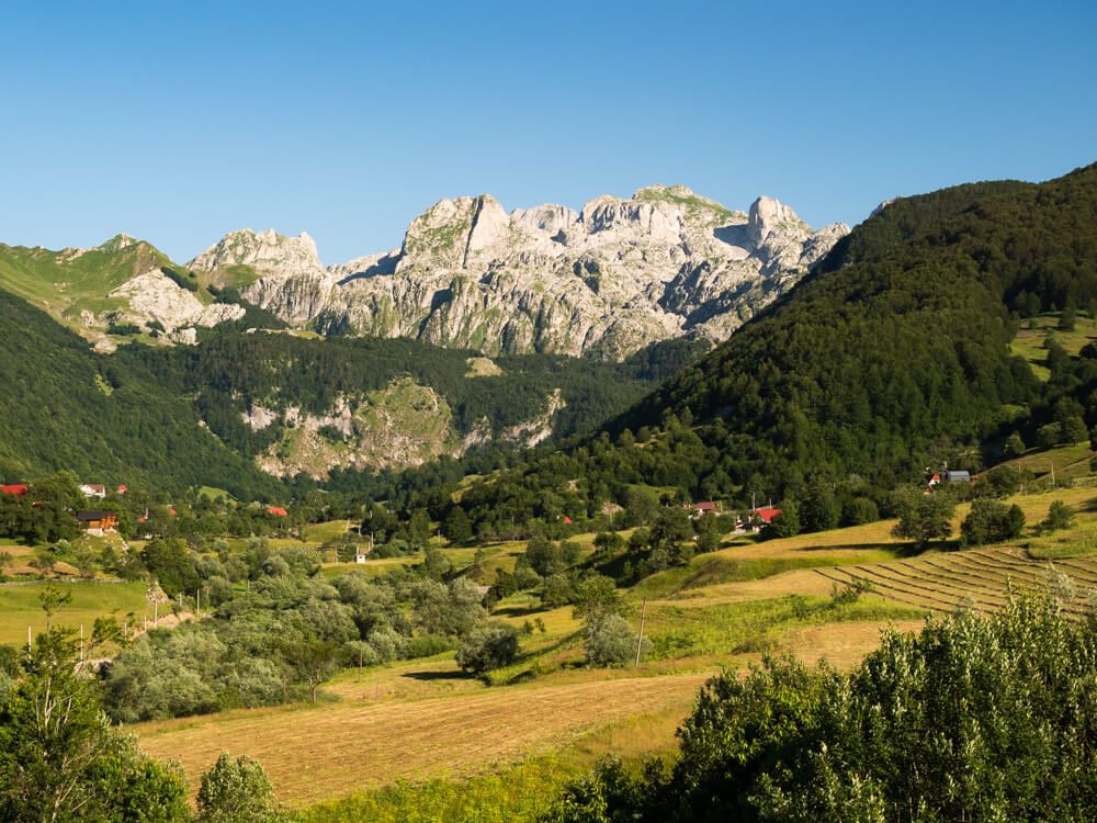
The trailhead is located in the center of Lëpushë village, in front of Guesthouse Bjeshkët e Nemuna, and is marked with a signpost. Follow the gravel path east that leads you into a forest and to the small Lepushe Waterfall (Ujëvara e Lëpushës). From here, a rocky path ascends through a beech forest before emerging into an open alpine pasture.
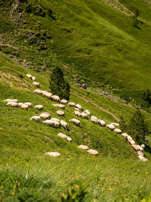
The trail climbs up to a beautiful, lush valley encircled by mountains and leads you past the ruins of an old stone house. In the summer, horses and herds of sheep can often be seen grazing on the sides of this valley.
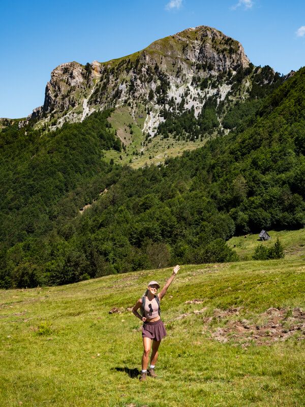
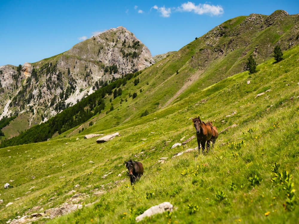
As you approach the upper end of the valley, the trail gets steeper and begins to zigzag up the grassy mountainside, before arriving at the summit ridge that marks the border between Albania and Montenegro. It’s here, after about 2.5 hours of hiking, that you’ll get your first look at the magnificent limestone peaks that this hike is known for.
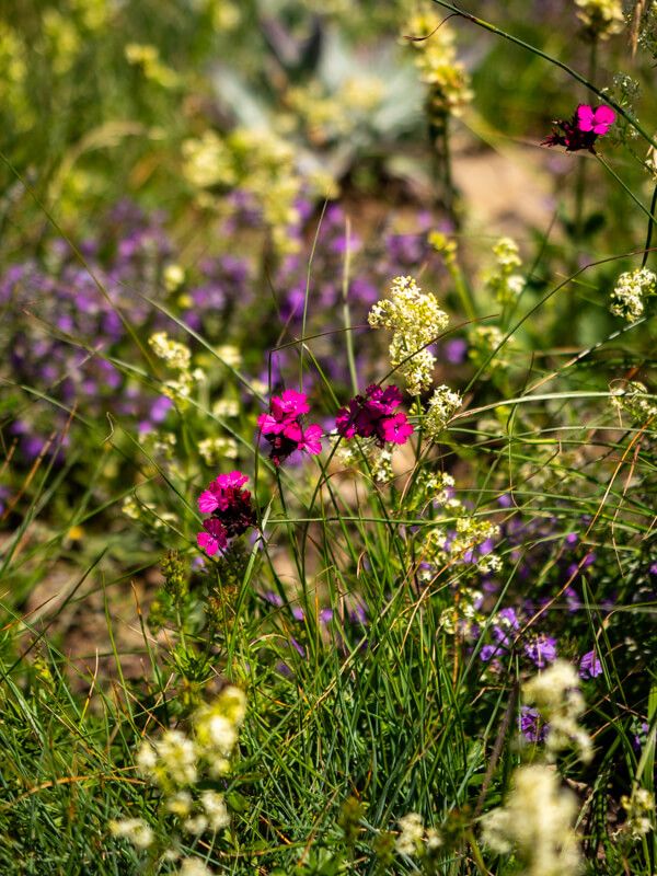
At the ridge, head first to the left to visit the nearby peak of Maja e Popadijes (or Popadija in Montenegrin). During our hike in mid-July, this peak was surrounded by colorful wildflowers, which made the view even more amazing.
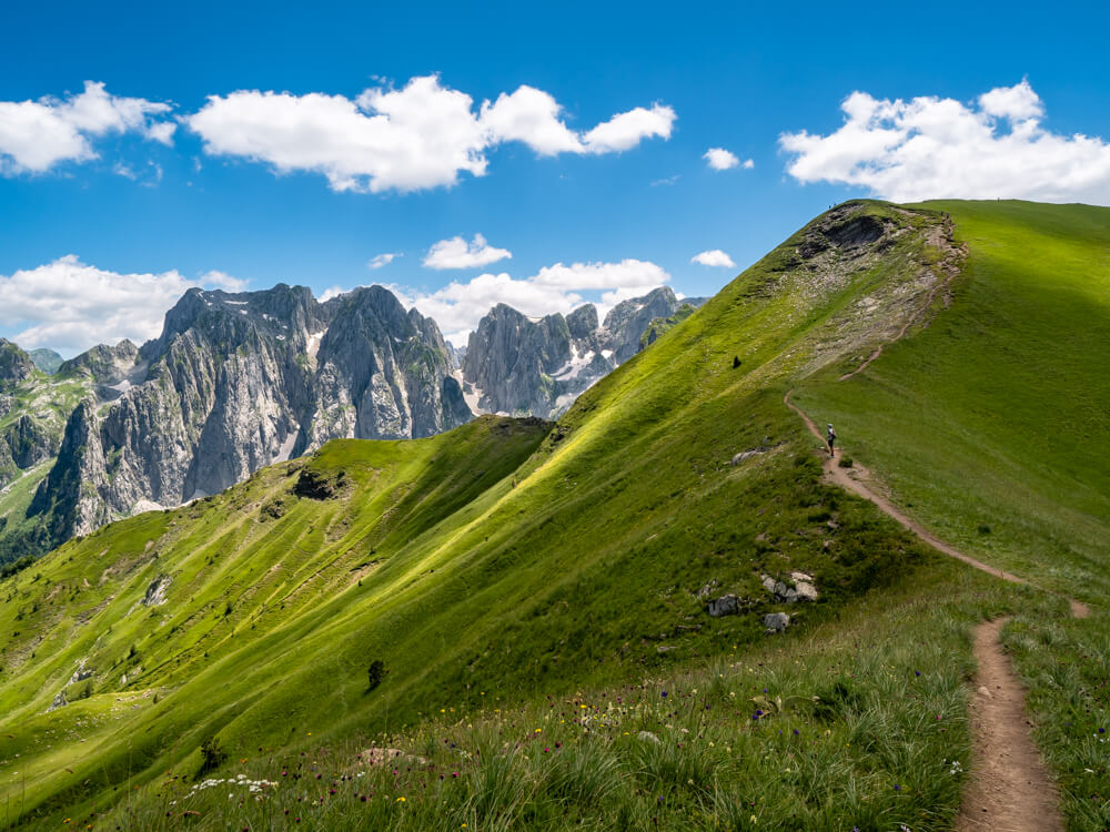
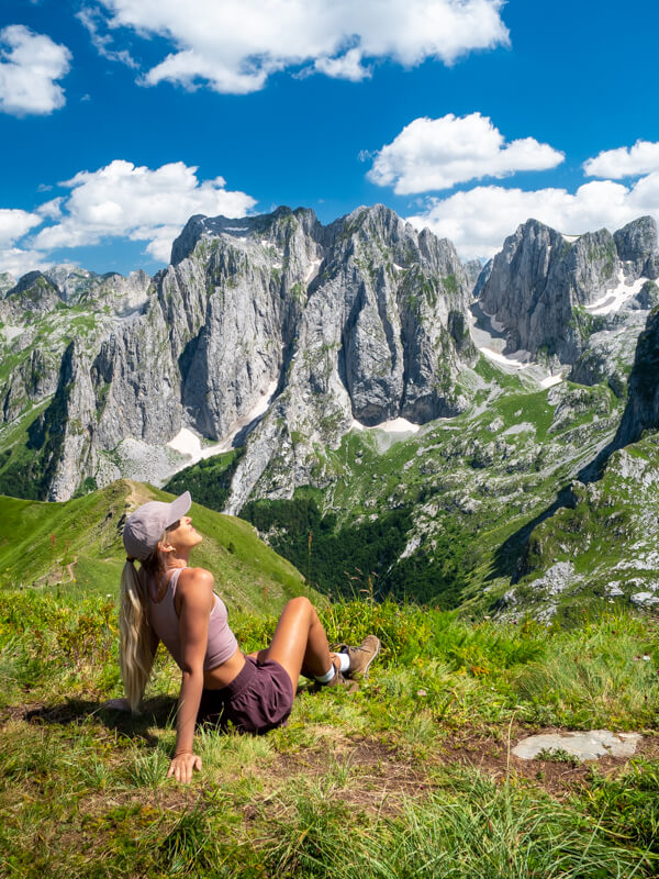
Then turn back and follow the ridge to the other side to finally reach Maja e Vajushes (or Talijanka as it is called in Montenegro). Here, a phenomenal 360-degree view of the peaks, valleys and meadows of the Accursed Mountains awaits you, with the spiky vertical cliffs of Karanfili Massif dominating the south.
I was so in awe of the grandeur of these mountains that we spent 1.5 hours here soaking up the views. It’s easy to see why it’s considered one of the most impressive mountain views in the Balkans.
Note that unlike the rest of the trail, the summit can get a little busy with hikers from the Montenegrin side, since it’s a part of the popular Three Peaks Trail in Montenegro’s Prokletije National Park.
Alternative route down
For the descent, the easiest and most obvious way is to simply return via the same route you took on the way up.
However, if you prefer to take a different route down, follow the trail west from Vajusha Peak, along the ridge towards another smaller peak. From here, the way down is very steep, and it’s not clear where to go, so follow your trail map. You should only consider taking this route if you’re not scared of heights.
We actually attempted to follow that route, but hadn’t downloaded the right trail map, so we couldn’t find the trail going down the mountainside from the smaller peak. We just saw very steep and rocky drops around us, so we made the decision to head back the way we came from.
We were probably just not looking in the right place, or maybe the trail was overgrown, but I know it’s possible to go down from that side because that route is shown on many trail maps, including this map in Wikiloc.
Where to stay in Lepushe
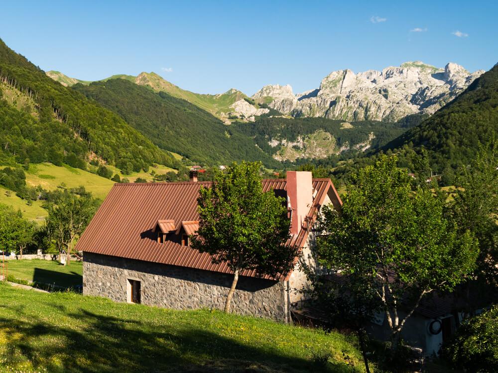
As the Vajusha Peak trail starts in Lepushe, this little village is the perfect place to stay before and/or after your hike. Compared to Theth, the gateway to the popular Valbona Pass hike, Lepushe is still largely untouched by tourism and has maintained its rural charm and tranquil atmosphere.
There are only a few guesthouses and cabins to choose from in Lepushe, so I recommend booking your accommodation well ahead of your trip.
Guesthouse Alpini – This is where we chose to stay and were really happy with our choice. It’s a charming family-owned guesthouse with the most idyllic location in a green valley surrounded by mountains. The view from its garden is spectacular, and the host family is super nice and speaks English. The rooms were comfortable and looked newly renovated, and the dinner they served was wonderful. 100% recommend!
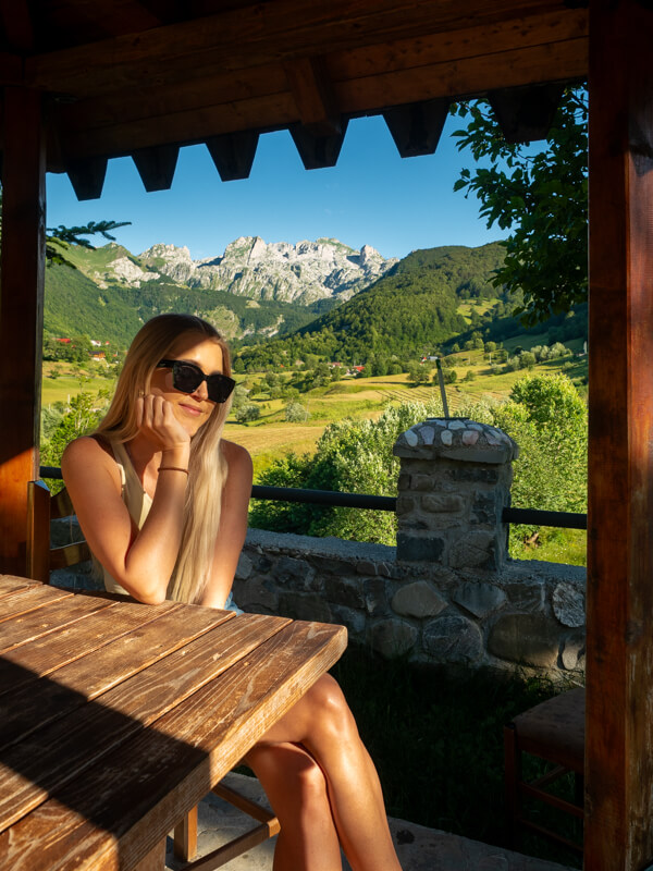
Vila Alpini – These cozy cabins are located on the same property and run by the same family as Guesthouse Alpini. Each villa has a living room, a fireplace and a private terrace. It’s a great option for groups, families or those who prefer more privacy.
Bujtina Pepushaj Lepushe – Another beautiful family-run guesthouse with wooden cabins and a large garden with a view of the mountains.
As an alternative to Lepushe, you could also stay in the villages of Vermosh (a 20-minute drive) or Tamarë (a 40-minute drive).
Related post: Looking for more hikes and cool places to visit in the region? Then read my Albanian Alps travel guide.
How to get to Lepushe
Getting there by car
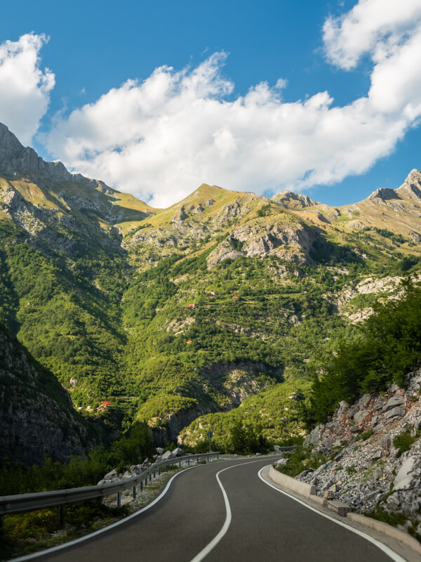
The best option to get to Lepushe is to rent a car and drive yourself, because you’ll have the freedom to be in control of your schedule and stop anywhere you like on this scenic journey. We rented our car through DiscoverCars and picked it up at Tirana Airport, and it was a very smooth experience. Find the best deals here.
From Tirana, the drive to Lepushe is 170 km (106 mi) along road SH20 and takes 3-3.5 hours. It’s an awe-inspiring drive through Kelmend Valley along the Cemi River with soaring mountains above you. The road is paved and in perfect condition, but it has a few narrow sections and hairpin turns where caution is needed.
There are some nice stops to make along the way, such as Leqet e Hotit and Tamare Beach. In my Albania road trip itinerary post, I’m sharing more details about these stops as well as other fantastic places we visited in Albania.
Taking a tour
In case you don’t want to drive, taking a guided tour is a great alternative. On this highly-rated 3-day tour, you’ll be picked up in Tirana and head north to the Kelmend region to visit its most beautiful places with a tour guide. You’ll explore waterfalls, canyons, caves and local villages, and hike to Maja e Vajushës on the second day of the tour.
You can also book a private transfer to Lepushe if you want more flexibility.
Traveling by public transport
It’s possible to get to Lepushe by public transport, but options are very limited. Minivans, locally known as furgons, depart once a day from Shkoder, the gateway city to the Albanian Alps, and the journey takes a little over 2 hours.
The vans usually depart around 7.30 am in front of Bar Restaurant Malësia, but double-check this information with your guesthouse to be sure.
The best time to hike to Vajusha Peak
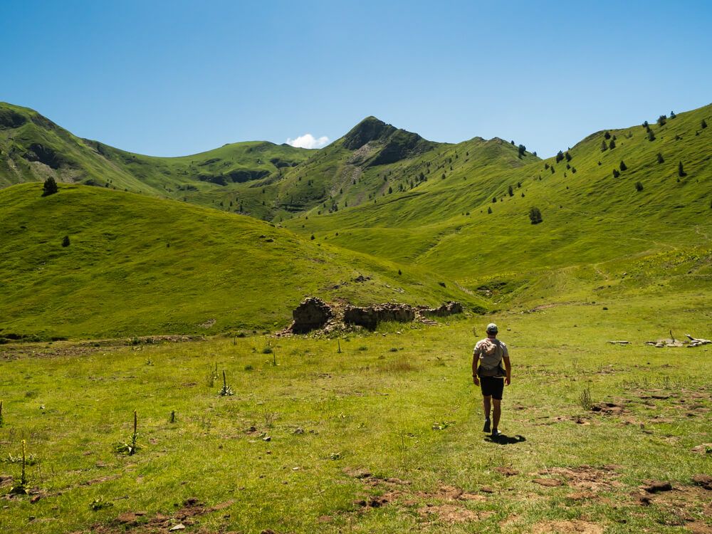
The best time of the year to hike Maja e Vajushes is during the warmer months, from June to October, when the weather conditions are the best. In the summer, the days are usually warm and sunny, the meadows are vibrant green, and wildflowers are in bloom. September and October, on the other hand, bring cooler weather and amazing colorful foliage as the beech forests turn orange.
Throughout the rest of the year, the mountains are usually covered with snow, which makes hiking much more challenging and potentially unsafe if you don’t have experience hiking in snow.
Final tips for hiking Maja e Vajushes
- Footwear: As the trail has some rocky sections, I recommend wearing hiking boots or shoes with good traction. Some people also prefer to have hiking poles, but we didn’t feel the need for them.
- Mobile data: Get an eSIM to have mobile internet, so you can check maps, communicate with your guesthouse and check the weather forecast during your northern Albania adventure. I used AirAlo like I always do and it worked well. Just be aware that you won’t have data throughout most of the hike, so download the trail map beforehand. You can use the code NEWTOAIRALO15 to get 15% off your first purchase.
- Sun protection: Apart from the first section in the forest, there’s not much shade on this trail, so remember sunscreen, a hat and sunglasses.
- Timing: For a better view, aim to be at Vajusha Peak no earlier than 11 am. In the morning, the sun would be shining from behind the mountains straight into your eyes or camera, so the photos won’t look as good.
Maja e Vajushes hike map
On the map below, you can see the exact hiking route to Maja e Vajushes from Lepushe.
I hope this guide gave you all the information you need to hike to Maja e Vajushes. If you enjoy alpine landscapes and dramatic mountain vistas, you should definitely add this hike to your Albania must-do list.
Don’t forget to read my 10-day Albania itinerary for more tips on fantastic hikes, swimming spots, beaches and natural wonders to visit, and my detailed guide to visiting the Albanian Alps for all the info you need to explore the region.
Pin this post!
READ MORE: